Please show your support of Waihekepedia by adding a link to us from your web site. Waihekepedia T Shirts now available at the Ostend Market
Difference between revisions of "Stony Batter"
Hackademic (talk | contribs) |
|||
| Line 36: | Line 36: | ||
[[Image:stony14.jpg|left]] | [[Image:stony14.jpg|left]] | ||
| − | [[Image:stony15.jpg| | + | [[Image:stony15.jpg|right]] |
[[Category:Parks and Reserves]] | [[Category:Parks and Reserves]] | ||
[[Category:Tourist Attractions]] | [[Category:Tourist Attractions]] | ||
Revision as of 10:18, 9 November 2007
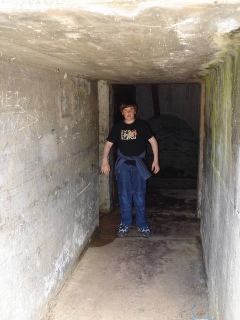
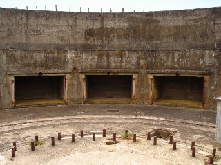
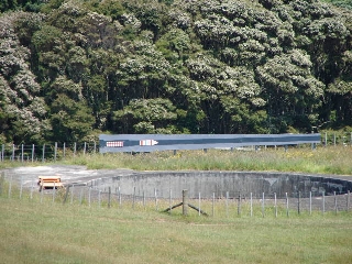
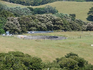
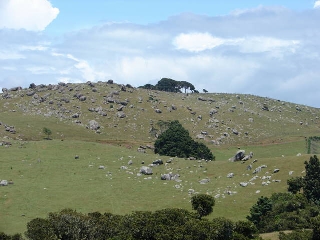
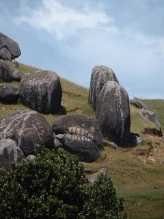
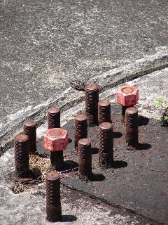
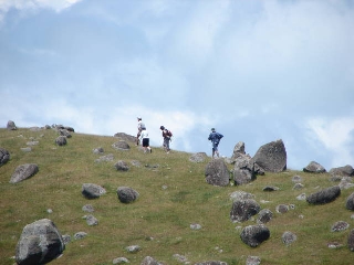
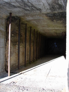
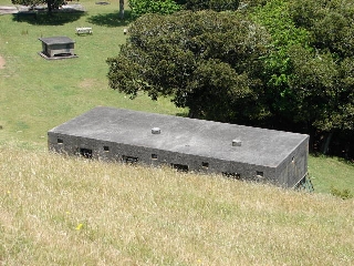
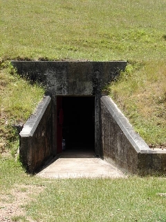
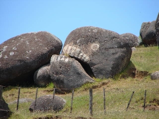
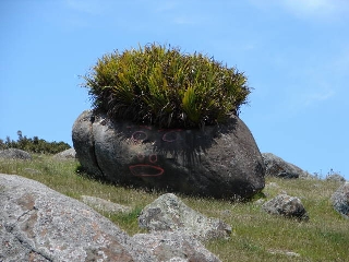
Stony Batter is a privately-owned farm and vineyard at the northeastern corner of the island. But the name is more widely associated with an extraordinary complex of tunnels connecting defensive gun emplacements built during World War II and which are now part of a Department of Conservation reserve. The guns were 9.2inch, had ranges of more than 30km and were the largest New Zealand had ever seen. The gun emplacments are one of the island's most famous tourist attractions. It is also famed for its widespread andecite rocks and boulders.
In an extensive piece, Wikipedia says: "Stony Batter was of part of a counter bombardment battery system progressively being installed in the Hauraki Gulf from the 1930s. Composed of various gun batteries, such as at Whangaparaoa, Motutapu Island and at Stony Batter, as well as having observation posts such at Rangitoto Island (command post) and Tiritiri Matangi Island, it was supposed to engage enemy naval forces entering the inner gulf. Ranges would have been to far beyond the line of sight (over 30 km, thus the need for a complex set of observation points and communication lines), as well as at least initially beyond the range of most enemy ships ability to retaliate."
The tunnels are currently closed (August 23, 2007)after a dispute arose between the volunteer-staffed Stony Batter Protection and Restoration Society and the Department of Conservation.
