Please show your support of Waihekepedia by adding a link to us from your web site. Waihekepedia T Shirts now available at the Ostend Market
Difference between revisions of "The loop road"
| Line 10: | Line 10: | ||
[[Category:History]] | [[Category:History]] | ||
| + | [Category: Tourist Attractions] | ||
Revision as of 20:49, 12 November 2008
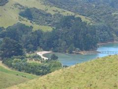
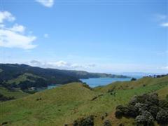
The loop road, as it is known, completes a loop that allows the eastern end of the island to be driven around in either direction. It can be said to start from about Orapiu and take travellers back to Awaawaroa. It was the subject of a lengthy dispute between Auckland City Council and landowner John Spencer, who owns much of the private land at the eastern end. Mr Spencer bought much of his property off Arthur Hooks, shortly before Mr Hooks' death in 1981. Whether Mr Hooks had meant the loop road to remain open to the public was at the heart of the dispute. For many years Mr Spencer blocked public access by having large mounds of earth placed across the road at Man O' War Bay and near Cactus Bay. In the end, however, he lost his case, which he took as far as the Privy Council in London and in 2004 the road was finally declared open. A procession around the loop by a stream of local cars and picnic at Man O'War Bay was held to celebrate.
Lawyer and former islander Kimberly McMurray-Cathcart, of Minter Ellison Rudd Watts, has written a lengthy article on the legal dispute.
Places of interest
Places of interest on the drive around the loop road include the Waiheke Pioneer Cemetery, Passage Rock Vineyard, Connells Bay Sculpture Park (entry by appointment), Man O' War Bay and Stony Batter.

]
[Category: Tourist Attractions]


