Please show your support of Waihekepedia by adding a link to us from your web site. Waihekepedia T Shirts now available at the Ostend Market
Difference between revisions of "McKenzie Reserve"
Jump to navigation
Jump to search
m (Text replacement - "Google Maps location of (.*)\<googlemap(.*)lat="(.*)" lon="(.*)" zoom="(.*)" width="(.*)" height="(.*)" type="(.*)"\>(.*)\<.googlemap\>" to "Maps location of $1 {{map|lat=$3|lon=$4|zoom=$5|width=$6|height=$7|type=$8|title=$9}}") |
|||
| (3 intermediate revisions by the same user not shown) | |||
| Line 17: | Line 17: | ||
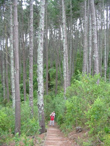
|[[Image:Mckenzie Reserve with pines.JPG|frame|left|The old pine forest 2005]] | |[[Image:Mckenzie Reserve with pines.JPG|frame|left|The old pine forest 2005]] | ||
|- | |- | ||
| − | | | + | | Maps location of McKenzie Reserve {{map|lat=-36.779953|lon=175.035124|zoom=16|width=400|height=300|type=hybrid|title=McKenzie Reserve}} |
| − | |||
|} | |} | ||
[[Category:Parks and Reserves]] | [[Category:Parks and Reserves]] | ||
[[Category:Maps]] | [[Category:Maps]] | ||
Latest revision as of 08:51, 7 October 2014
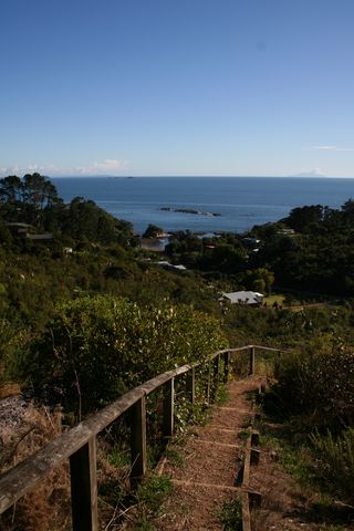
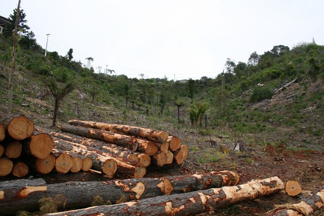
The McKenzie reserve is a relatively small area with walking track entrances off Great Barrier Road or Empire Road , which leads to Enclosure Bay. The reserve was a mature pine forest in 2006, 2007 where the pine trees were removed and natives planted. A new a picnic area was also created.
If you look closely at the map you will see that McKenzie Reserve has a short 'dog-leg' section on its western edge that meets with Coromandel Road. A rough walkway can be found leading from Coromandel Road into the reserve. This path is due to be properly formed in the next couple of years.
| McKenzie Reserve 2007 | McKenzie Tree removal 2006 |
| The old pine forest 2005 | |
| Maps location of McKenzie Reserve
|


